System 01
Inspection route planning
Plan stand-off distance, altitude, viewpoints, coverage lanes, sensor actions, and operating boundaries around the asset or site being inspected.
industrial inspection drone
Turn inspection routes, sensor capture, AI-assisted review, telemetry, and operator procedures into consistent field missions.
Mission capability
Aeroniti helps teams configure industrial inspection drone workflows with mission planning, repeatable routes, AI detection, telemetry logs, video evidence, and safety supervision.
How the system works
Each layer is configured around the aircraft, operating environment, sensor stack, safety requirements, and level of human supervision.
Plan stand-off distance, altitude, viewpoints, coverage lanes, sensor actions, and operating boundaries around the asset or site being inspected.
Saved routes help teams capture comparable visual and telemetry evidence across recurring inspection cycles instead of relying on improvised flight paths.
Mission-specific models can assist with detecting relevant objects, visible anomalies, people, animals, or other defined conditions for operator review.
Recorded imagery and mission telemetry create an evidence trail that can support review, reporting, maintenance decisions, and repeat-flight comparison.
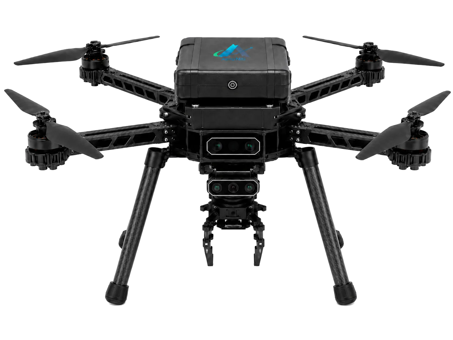
Thermal cameras can add heat-pattern context while depth sensors support range-aware capture in compatible environments.
Geofence, return-to-launch, failsafes, operator override, route review, and site-specific procedures remain fundamental to an inspection deployment.
Frequently asked questions
Practical answers for teams assessing an Aeroniti mission configuration.
Potential applications include facilities, roofs, structures, construction progress, land, equipment, and controlled industrial sites, depending on access and regulation.
Repeatable routes help capture more consistent viewpoints and telemetry across inspection cycles, improving comparison and reporting.
AI can assist with defined detection tasks, but outputs should be validated by qualified operators or inspectors for the specific use case.
Yes. A compatible thermal payload can add heat-pattern information for mission-specific review.
A configuration can retain video, images, detections, route information, timestamps, and telemetry for review and reporting.
Request demo
Share the mission, aircraft, operating environment, sensors, payload, safety constraints, and expected outcome. Aeroniti can define a focused integration and field-validation path.