System 01
How 360 LiDAR supports obstacle awareness
LiDAR measures surrounding range points and can reveal obstacles outside a single forward-facing camera view. A 360-degree configuration supports broader spatial awareness around the aircraft.
LiDAR obstacle avoidance drone
Use 360-degree range information, onboard decision logic, and flight-controller safety to support obstacle-aware mission execution.
Mission capability
Aeroniti uses 360 LiDAR, onboard AI, and Pixhawk/ArduPilot integration to support obstacle-aware autonomous drone missions under human supervision.
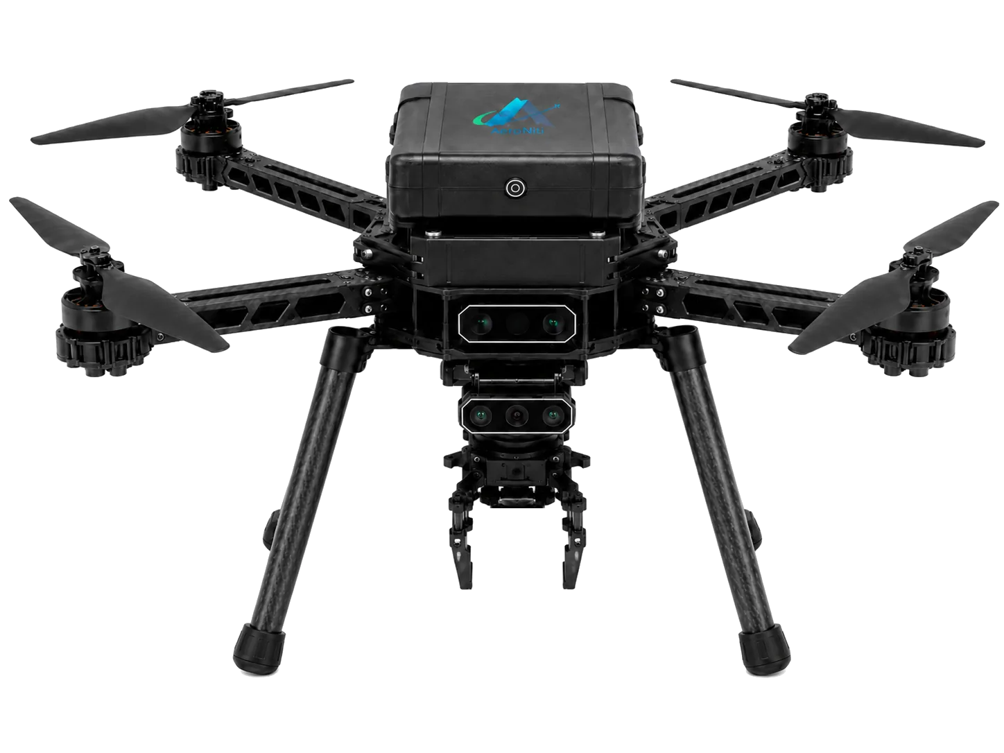
How the system works
Each layer is configured around the aircraft, operating environment, sensor stack, safety requirements, and level of human supervision.
LiDAR measures surrounding range points and can reveal obstacles outside a single forward-facing camera view. A 360-degree configuration supports broader spatial awareness around the aircraft.
The onboard computer filters and interprets LiDAR measurements close to the aircraft, combining useful range information with mission state and other sensors.
When an obstacle violates configured clearance rules, the autonomy layer can request a pause, reroute, controlled hold, or other bounded response appropriate to the tested mission.
Decision requests flow through MAVLink to Pixhawk and ArduPilot. The flight controller remains responsible for safely executing supported flight commands.
The autonomy computer interprets the environment and selects mission intent. Pixhawk handles stabilization, motor output, geofence, failsafes, and pilot override.
Obstacle awareness can support controlled-site inspection, patrol, delivery, and search missions where routes pass near structures, trees, equipment, or changing field conditions.
Frequently asked questions
Practical answers for teams assessing an Aeroniti mission configuration.
LiDAR supplies range measurements to onboard software, which evaluates clearance and requests an appropriate mission response through the flight-control interface.
A 360-degree sensor can provide broader range awareness around the aircraft, while cameras contribute visual context and classification.
No. LiDAR informs the autonomy layer; Pixhawk and ArduPilot remain responsible for flight execution and motor control.
No system can guarantee avoidance in every environment. Sensor range, reflectivity, speed, weather, mapping, tuning, and testing all affect performance.
Yes. Sensor fusion can combine complementary range and visual information for a more useful view of the operating environment.
Request demo
Share the mission, aircraft, operating environment, sensors, payload, safety constraints, and expected outcome. Aeroniti can define a focused integration and field-validation path.